Parking Commission Backs Broadened Scope Covering Recreation, Open Space, and Undeveloped Zoning With Potential Two-Thirds Federal Grant
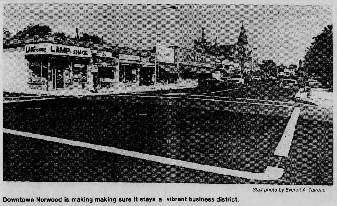
NORWOOD – The Norwood Planning Board voted on Monday night, November 20, 1967, to expand its proposed study of Norwood’s Central Business District (CBD) into a comprehensive, town-wide planning survey encompassing recreation and open space requirements as well as zoning strategies for the municipality’s remaining undeveloped land. Board members stressed that while the survey’s primary emphasis would remain focused on the commercial needs and future development potential of the downtown Central Business District, a broader town-wide framework was essential to guide Norwood’s long-term growth.
Planners unveiled the expanded proposal during a joint session with the Norwood Parking Commission, drawing a favorable reception from commission members after weeks of friction between the two panels. At earlier meetings, the boards had clashed over the project’s scope—with the Parking Commission favoring a narrow inquiry limited to downtown parking capacity and apartment housing needs, while the Planning Board opposed restricting the study to the central core alone.
According to Planning Board estimates, the comprehensive survey would cost approximately $20,000, with a federal government planning grant potentially underwriting up to two-thirds of the total expense. Planning Board Chairman J. Edward Bamber stated that the board would learn later that week whether Norwood satisfied federal eligibility criteria for the matching grant. To build town-wide consensus, the Planning Board actively sought endorsements from both the Board of Selectmen and the Conservation Commission, requesting a formal joint conference with selectmen for the following Tuesday.
1967 Proposed Norwood CBD & Town Planning Study Cost Adjusted to 2026 Dollars
Inflation-adjusted using U.S. Bureau of Labor Statistics CPI data ($1.00 in Nov. 1967 ≈ $9.62 in 2026)
| 1967 Comprehensive Planning Survey Item | 1967 Estimate | 2026 Equivalent |
|---|---|---|
| Total Estimated Comprehensive CBD & Town Survey Cost | $20,000 | ~$192,400 |
| Potential Federal Grant Share (Up to Two-Thirds) | ~$13,333 | ~$128,267 |
| Estimated Local Town Share (One-Third) | ~$6,667 | ~$64,133 |
Archival Note: This article has been dynamically reconstructed from the original public record print archives of the Patriot Ledger
-
Public Hearing Set on Proposed 300-Unit Nahatan Street Apartment Complex-November 15, 1966

Norwood’s planning board scheduled a December 12 public hearing for a 300-unit, six-building apartment complex proposed by developer George Clark off Nahatan Street.
-
Planning Board Considers Windsor Gardens Expansion-October 13, 1966
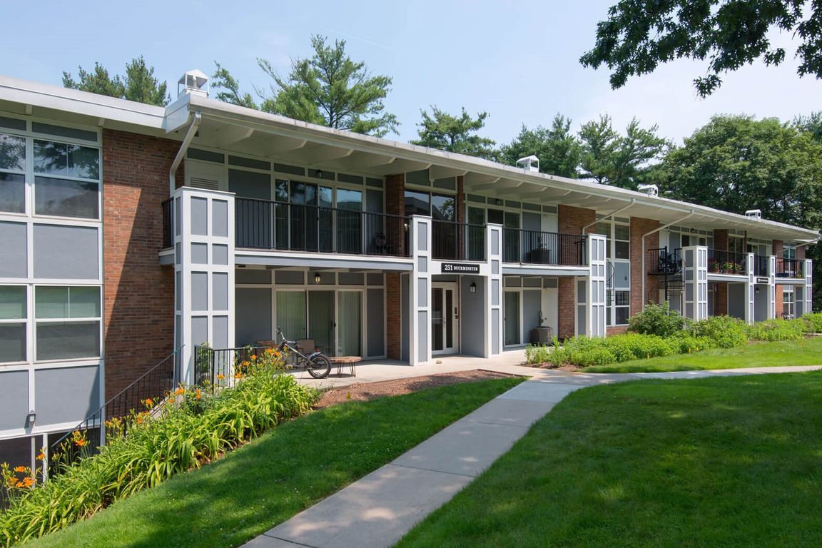
Windsor Gardens proposes a 239-unit expansion, Washington Street rezoning is debated, and American Steel and Aluminum announces a new industrial facility in Norwood.
-
Planning Board Launch Master Plan Study for 200-Acre “Meadows” Tract-August 23, 1965
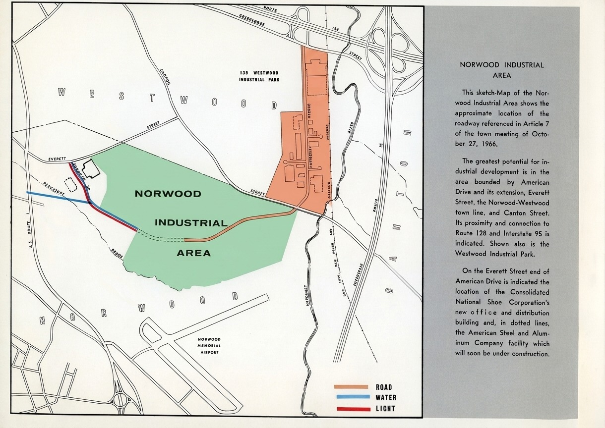
Backed by a $10,000 town appropriation, the Norwood Planning Board is launching a master plan study to guide industrial development across the 200-acre Route 1 Meadows tract.
-
Norwood Planning Board Seeks Four Zoning Changes for Upcoming Special Town Meeting-August 9, 1965

The Norwood Planning Board submitted four zoning amendments for town meeting, covering residential rezonings, plastic footwear manufacturing for Consolidated Shoe, Route 1 uniformity, and apartment permits.
-
Planning Board Shown Medical Building Plans-October 21, 1964
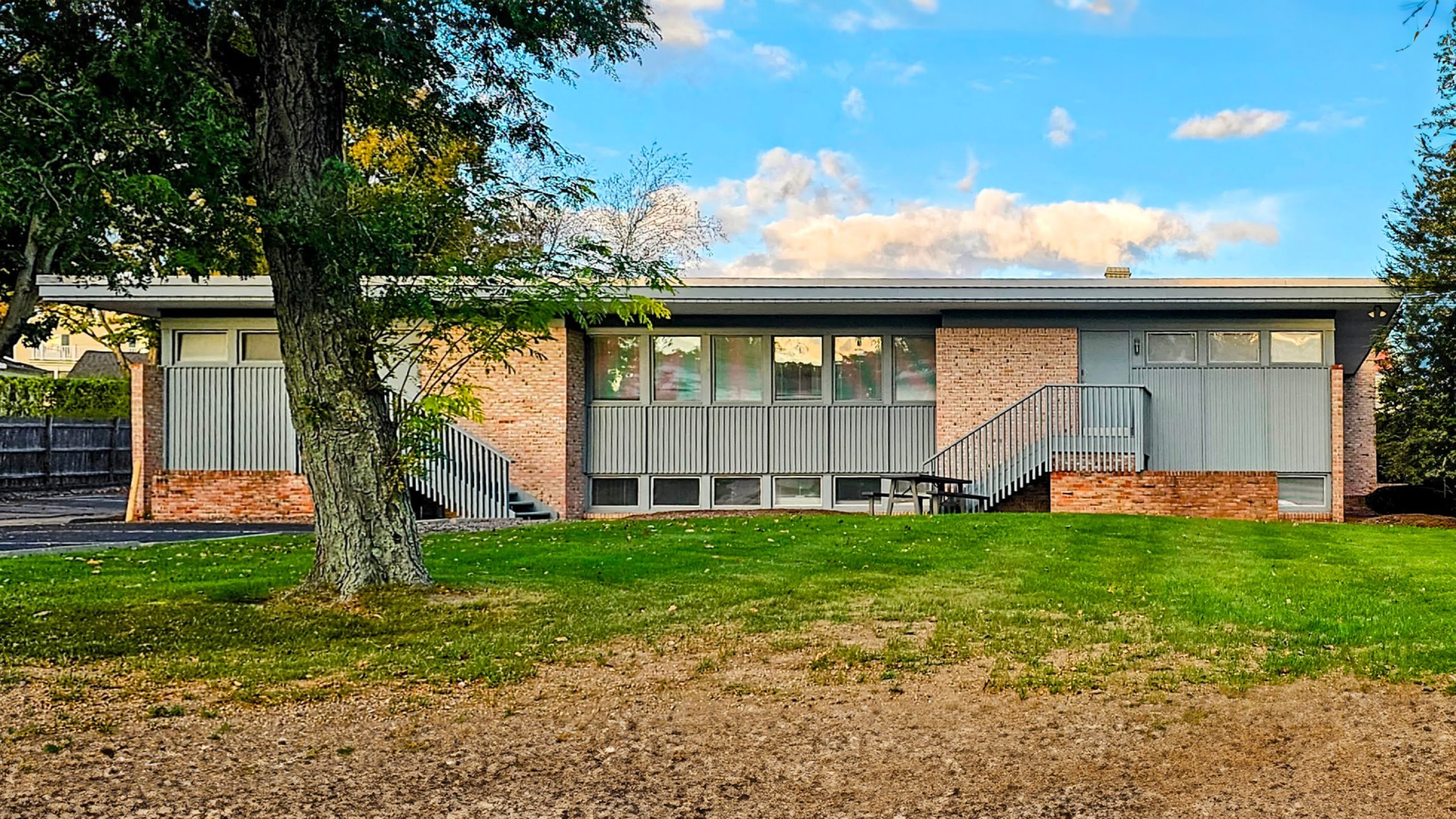
Planning Board Shown Medical Building Plans-This Day In Norwood History-October 21, 1964
-
Oldham Building Committee Awaits Construction Deadlines as Planning Board Weighs Town Map Revisions-August 31, 1964

As summer drew to a close in 1964, tensions mounted on two municipal fronts in Norwood: the Oldham Building Committee prepared to weigh potential legal action against a lagging prime contractor, while the Planning Board met to overhaul official town maps to align with newly adopted zoning bylaws. Oldham School Completion Deadlines and Contractor Dispute…
-
Norwood Looks Forward-March 29, 1964
Norwood, until 1872 a part of Dedham, today appears a town that was built-and divided-by a railroad. But unlike many New England towns that boomed early in the Industrial Revolution and then declined, Norwood has continued to prosper as an industrial center. While only four trains a day now stop at the depot at the…
-
Proposed Restrictions For Medical Center Rezoning-September 12, 1963
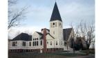
Proposed Restrictions For Medical Center Rezoning-This Day In Norwood History-September 12, 1963 Pictured: The Old Congregational Church stood on the corner of Winter and Walpole Streets. You can see the Morrill Memorial Library to the rear. A medical building sits on the site today.
-
Preliminary Plans Filed for 82-Lot Subdivision Near Callahan School-October 3, 1962
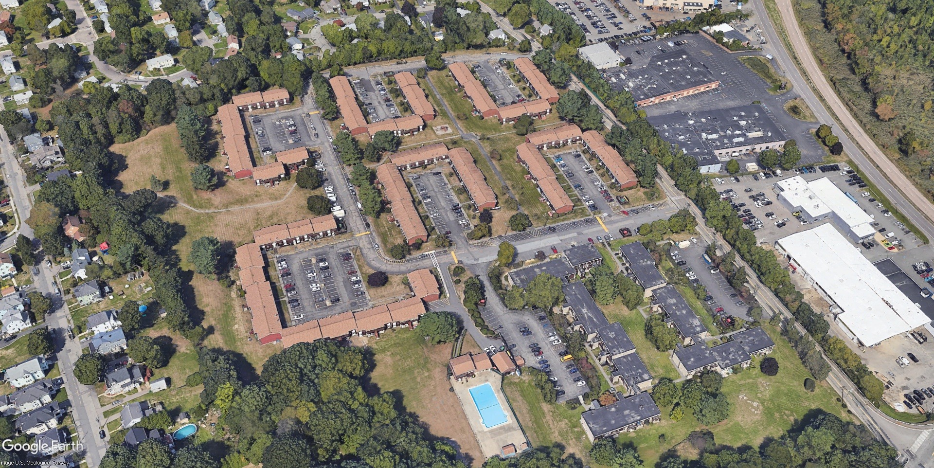
Preliminary plans for an 82-lot subdivision near Callaham School are filed with the Planning Board, alongside zoning petitions and infrastructure reviews.
-
Norwood Area Residents Doubtfully Eye Planner’s Alternate Interstate 95 Route-May 28, 1962
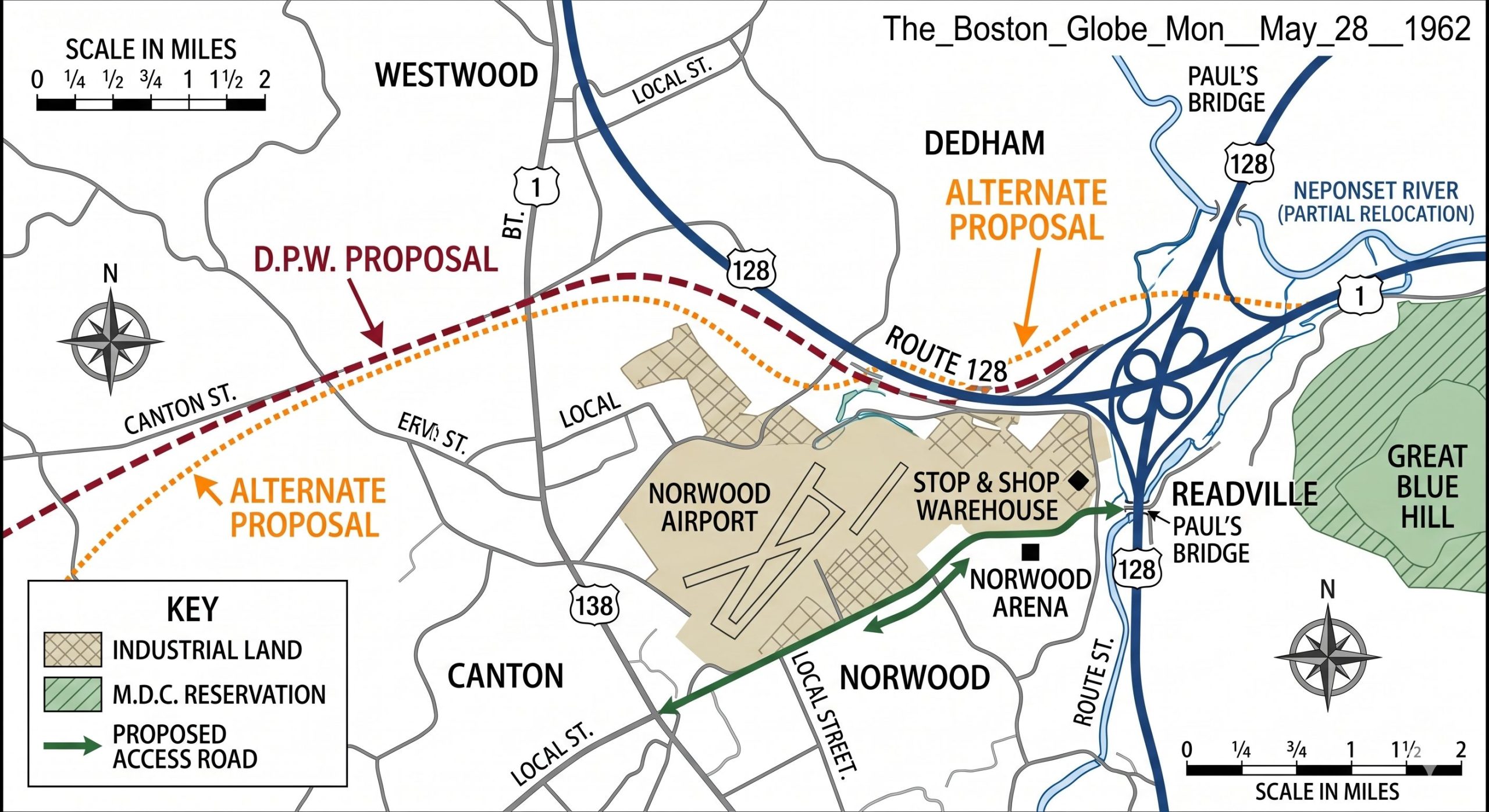
Norwood Area Residents Doubtfully Eye Planner’s Alternate Interstate 95 Route
Discover more from Norwood Historical Society
Subscribe to get the latest posts sent to your email.