Parking Commission Backs Broadened Scope Covering Recreation, Open Space, and Undeveloped Zoning With Potential Two-Thirds Federal Grant
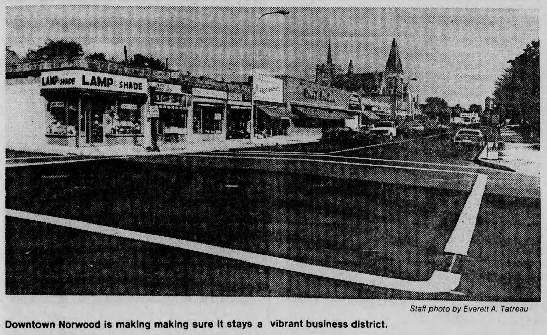
NORWOOD – The Norwood Planning Board voted on Monday night, November 20, 1967, to expand its proposed study of Norwood’s Central Business District (CBD) into a comprehensive, town-wide planning survey encompassing recreation and open space requirements as well as zoning strategies for the municipality’s remaining undeveloped land. Board members stressed that while the survey’s primary emphasis would remain focused on the commercial needs and future development potential of the downtown Central Business District, a broader town-wide framework was essential to guide Norwood’s long-term growth.
Planners unveiled the expanded proposal during a joint session with the Norwood Parking Commission, drawing a favorable reception from commission members after weeks of friction between the two panels. At earlier meetings, the boards had clashed over the project’s scope—with the Parking Commission favoring a narrow inquiry limited to downtown parking capacity and apartment housing needs, while the Planning Board opposed restricting the study to the central core alone.
According to Planning Board estimates, the comprehensive survey would cost approximately $20,000, with a federal government planning grant potentially underwriting up to two-thirds of the total expense. Planning Board Chairman J. Edward Bamber stated that the board would learn later that week whether Norwood satisfied federal eligibility criteria for the matching grant. To build town-wide consensus, the Planning Board actively sought endorsements from both the Board of Selectmen and the Conservation Commission, requesting a formal joint conference with selectmen for the following Tuesday.
1967 Proposed Norwood CBD & Town Planning Study Cost Adjusted to 2026 Dollars
Inflation-adjusted using U.S. Bureau of Labor Statistics CPI data ($1.00 in Nov. 1967 ≈ $9.62 in 2026)
| 1967 Comprehensive Planning Survey Item | 1967 Estimate | 2026 Equivalent |
|---|---|---|
| Total Estimated Comprehensive CBD & Town Survey Cost | $20,000 | ~$192,400 |
| Potential Federal Grant Share (Up to Two-Thirds) | ~$13,333 | ~$128,267 |
| Estimated Local Town Share (One-Third) | ~$6,667 | ~$64,133 |
Archival Note: This article has been dynamically reconstructed from the original public record print archives of the Patriot Ledger
-
Norwood Voters To Consider Lighting Funds-June 26, 1968

The Finance Commission backs the utility expansion alongside a $163,000 sewer construction article, while the town master plan is deferred.
-
Norwood Planners To Postpone Article On Master Plan-June 25, 1968
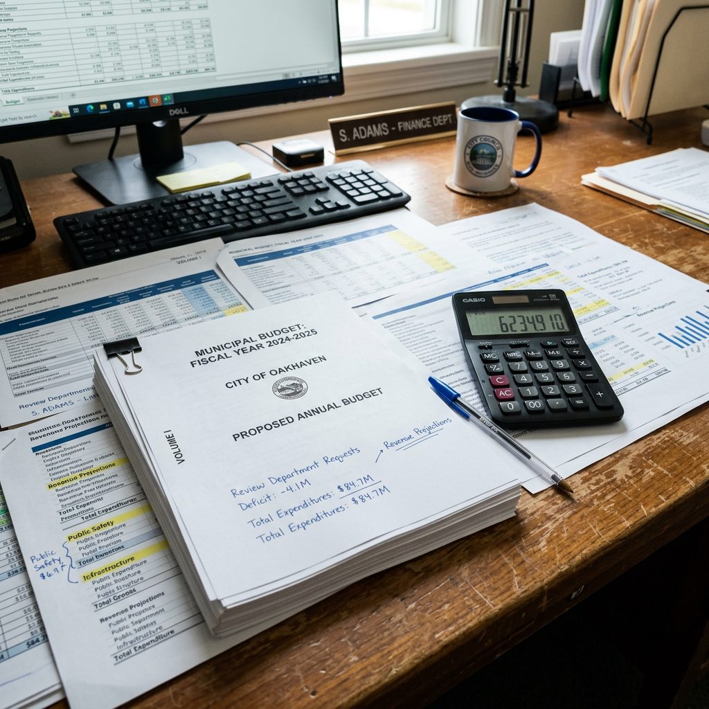
Planners vote unanimously to defy a Finance Commission veto, taking an eight-thousand-dollar intersection study request straight to town meeting.
-
Planners Interpret Space Needs Of Proposed Apartment Complex-June 25, 1968
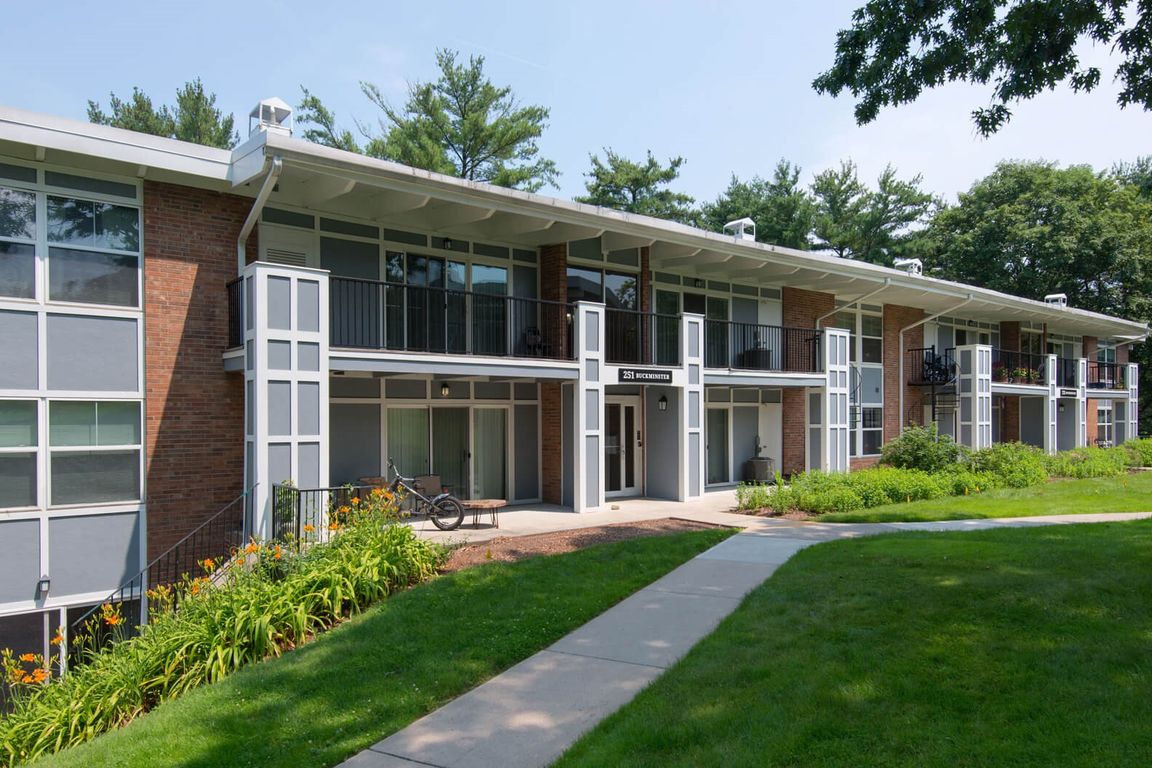
The zoning interpretation backs neighborhood abutters as Appeals Board Chairman James J. Drummey reviews demands to revoke the project’s permits.
-
FinCom Recommends $2.5-Million Expenditure-June 21, 1968
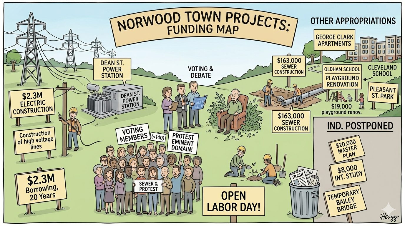
A massive infrastructure recommendation heading to a special town meeting could alter Norwood’s utility footprint and spark eminent domain protests.
-
Norwood Planning Board Expands Proposed $20,000 CBD Study Into Town-Wide Master Survey-November 21, 1967
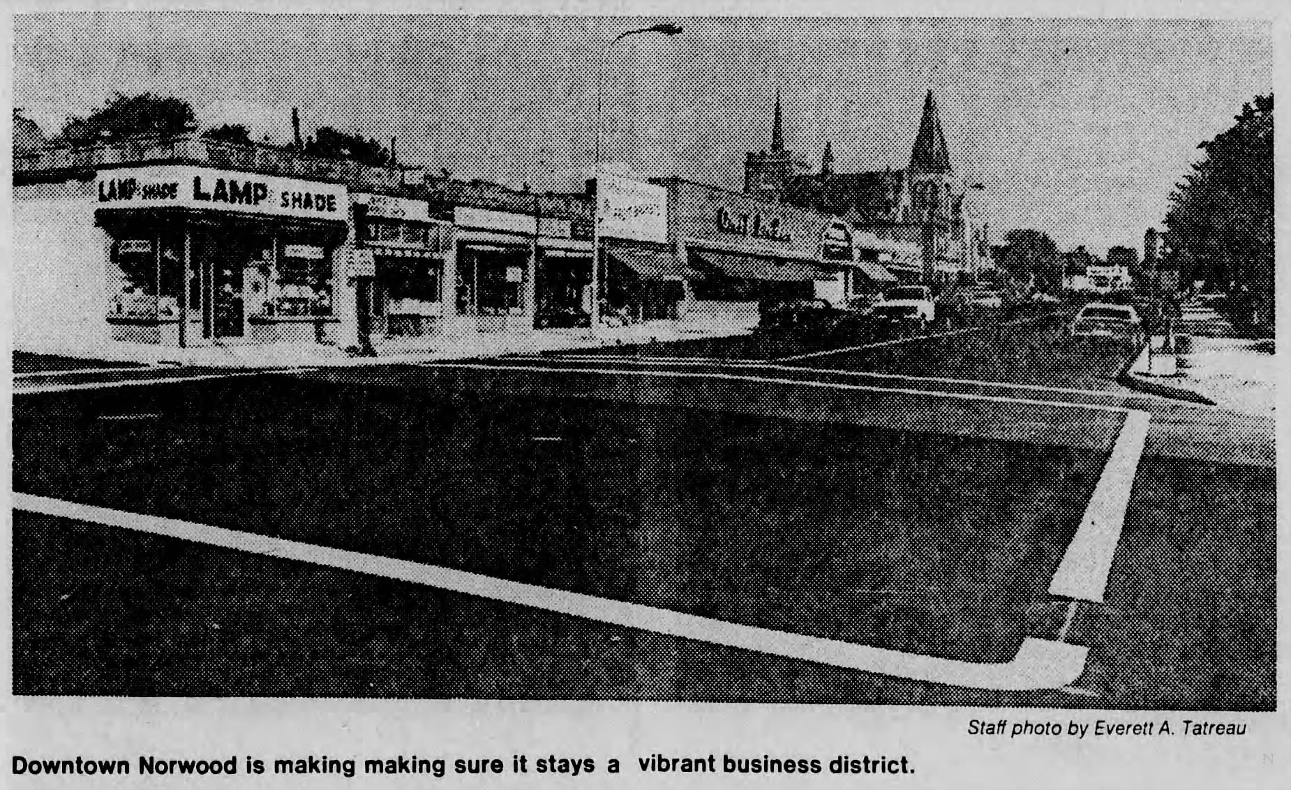
The Norwood Planning Board broadened its proposed $20,000 Central Business District study into a town-wide planning survey in November 1967, gaining support from the Parking Commission and seeking a two-thirds federal grant.
-
Norwood Planning Board Weighs Calling Bonds on 17-Year-Old Albert P. Nelson Subdivision Off Chapel Street-November 21, 1967
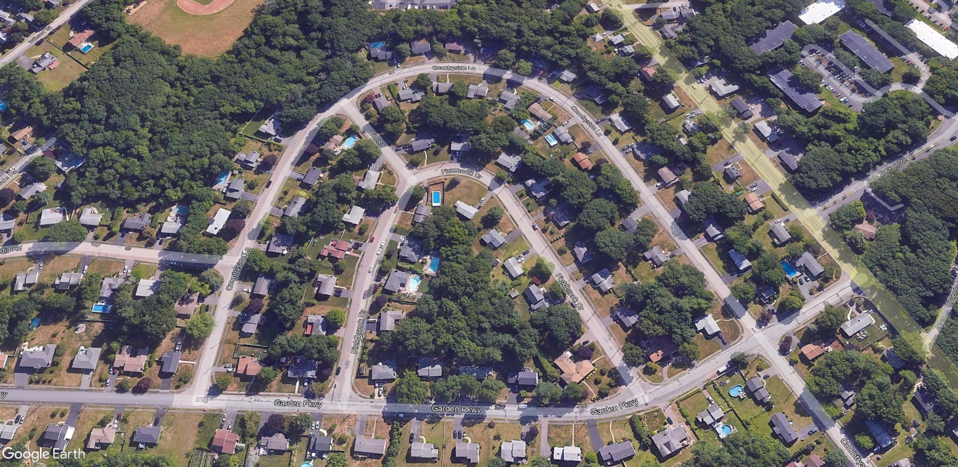
Norwood planners refused to release bonds on Fieldbrook Drive, Dell Road, and Croyden Road in November 1967 after 17 years of unfinished roadwork in Albert P. Nelson’s Chapel Street subdivision, while delaying a Hampden Road bond estimate pending utility inspections.
-
Planning Board Hears Road Complaints, Discusses Route 1 Zoning and Windsor Gardens Expansion-August 29, 1967
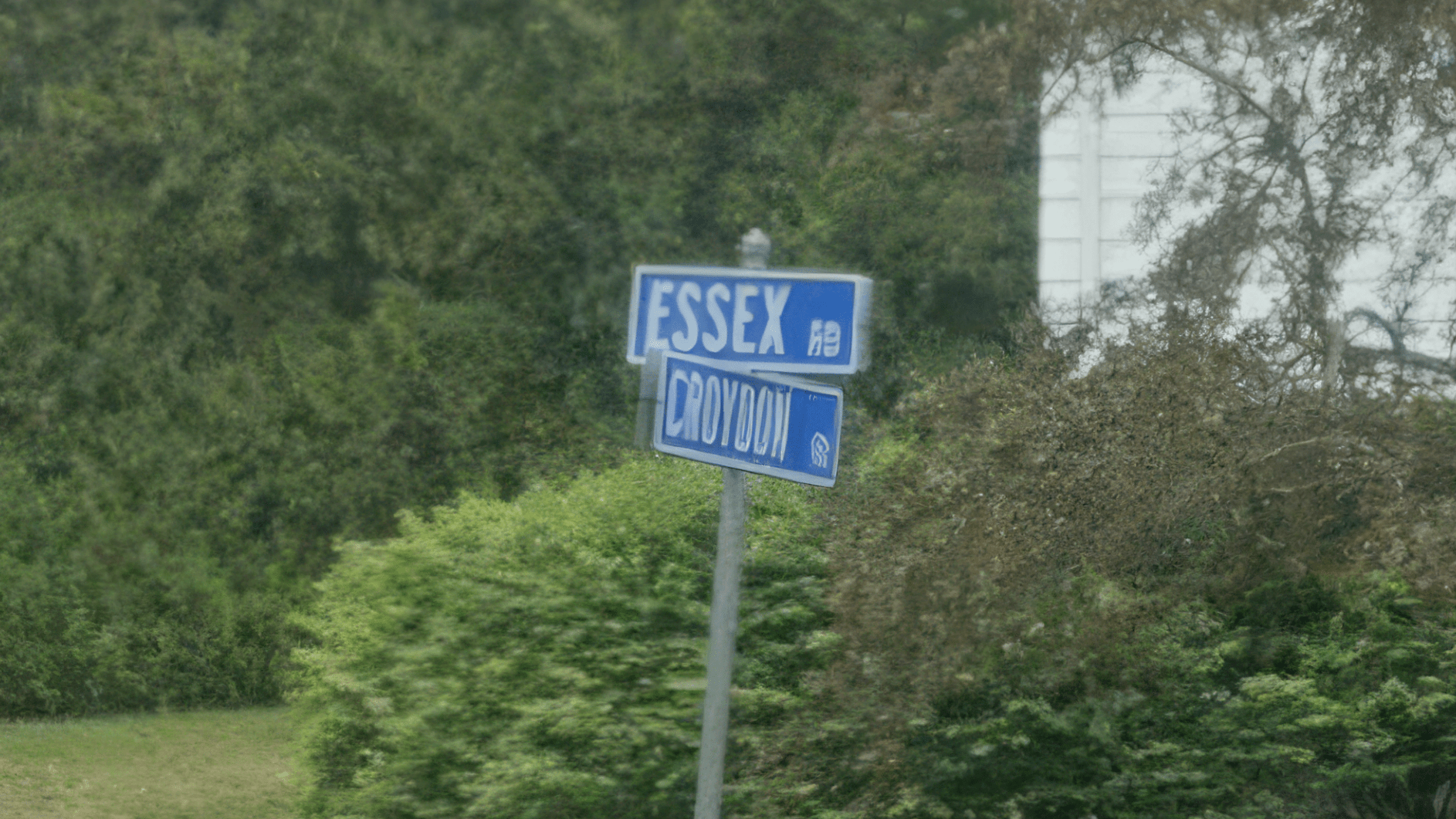
Frustrated by prolonged delays, Norwood residents appeared before the Planning Board last night to voice sharp complaints regarding the unfinished condition of Croyden Road and Essex Road. Speaking on behalf of the neighborhood, Sheldon Kahalas of 77 Croyden Road told the board, “The residents of the area are pretty much in accord. We are extremely…
-
Dean Street Residents Protest Business Encroachment-July 11, 1967
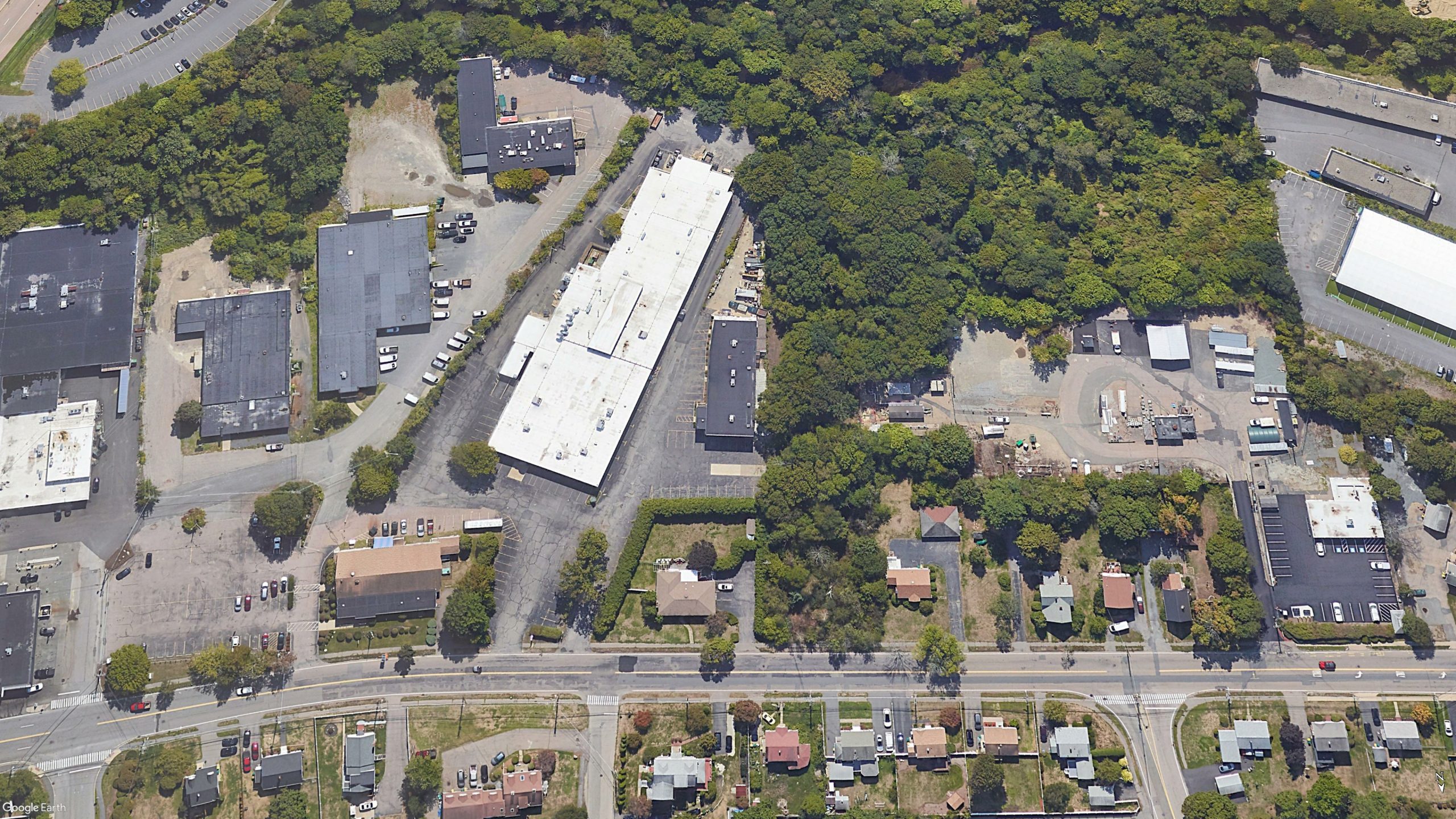
Dean Street Residents Protest Zoning Change On July 11, 1967, tensions escalated on Dean Street as more than 20 local residents attended a Planning Board hearing to protest a proposed zoning change that they argued would further erode their residential neighborhood. ⠀ The petition was submitted by Alexander Rossi, a contractor living at 181 Dean…
-
Norwood Planning Board Approaches Route 1 Zoning Solution-July 11, 1967

Planning Board Addresses Route 1 Zoning Violations On July 11, 1967, the Norwood Planning Board held a productive meeting with local residents to address long-standing zoning violations along Route 1. ⠀ The proposed resolution, introduced by Town Engineer Robert A. Hamilton, involves rezoning all commercially owned properties situated between East Cross Street and Dean Street…
-
Star Market Breaks Ground For Norwood Distribution Center-June 14, 1967
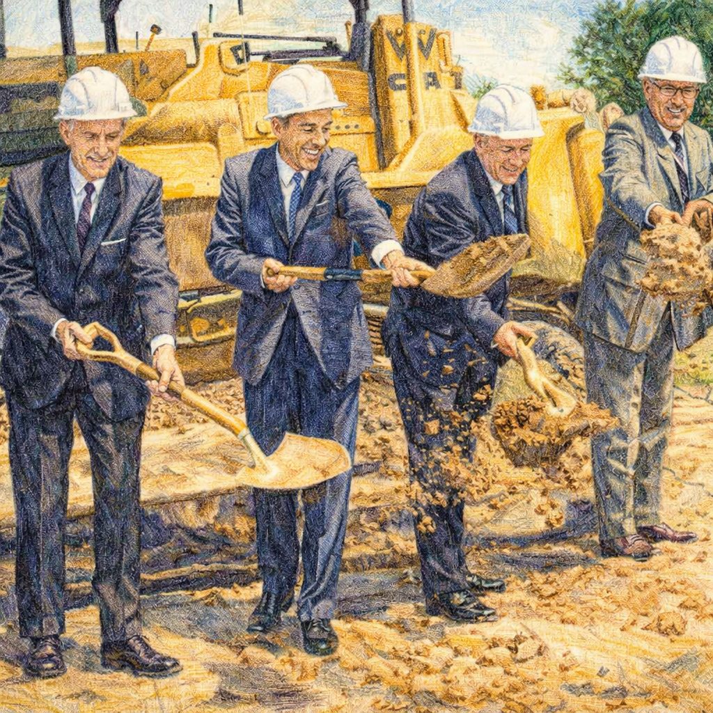
A grocery powerhouse selects a prime 55-acre parcel near Route 1 and the railroad, launching a massive development project that required 50 town meetings to approve.
Discover more from Norwood Historical Society
Subscribe to get the latest posts sent to your email.