Forte-Fairbairn Inc. President Robert A. Fairbairn Offers Low-Interest Bond Financing as Conservation Panel Backs Whitman-Howard Flood Plain Zoning Over Riolo Plan
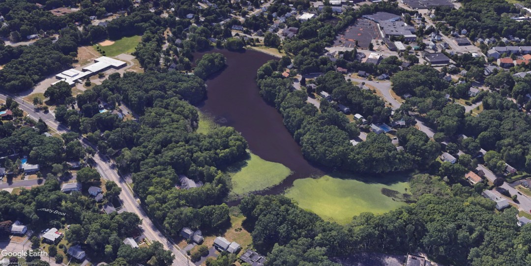
NORWOOD – Municipal officials moved closer to preserving one of Norwood’s signature natural landmarks as the Board of Selectmen and the Conservation Commission prepared to ask Annual Town Meeting voters to authorize the town’s purchase of Ellis Pond and its surrounding open space. Reported by Patriot Ledger Norwood correspondent Mrs. Kathy Salzberg on Monday, November 23, 1970, the two boards had held two recent joint meetings to finalize acquisition details, according to Conservation Commission member Charles J. Strumski.
The 12-acre pond and adjoining acreage—stretching from Nichols Street to a point near the Norwood Plaza shopping center—had been offered to the town in April 1970 by its owners, Forte-Fairbairn Inc. of Norwood, who valued the tract at $350,000. Selectmen subsequently commissioned two independent appraisals of the land, though the appraisal figures had not yet been publicly released. While Town Meeting would be required to appropriate the full purchase price upfront, Conservation Commission Chairman Edwin I. Ofgant expressed optimism that Norwood would recover 50 percent of the cost through state reimbursement and an additional 25 percent through federal open-space grants—reducing the town’s net share to just 25 percent. In addition, Robert A. Fairbairn, president of Forte-Fairbairn Inc., personally offered to finance the municipal bond at what he described as a low interest rate.
Strumski emphasized the diverse public benefits of keeping the Ellis Pond tract in its natural state—citing nature trails, light boating, ice skating, fishing, outdoor conservation classes, water storage, and passive recreation.
In a related environmental policy debate, Strumski noted that the Conservation Commission favored a flood plain zoning bylaw drafted by Boston engineering consultants Whitman & Howard over an alternative proposal submitted in August 1970 by Planning Board member Thomas A. Riolo. While Riolo’s measure would have placed 20 percent of the town inside a flood plain overlay—sweeping in all land within 200 feet of any brook centerline without contour limits—Strumski argued that the Whitman-Howard approach used a 50-foot contour line alongside geological, soil, and vegetation data to define upland seasonal wetlands far more precisely. Comparing overly broad zoning to the state Hatch Act—where local selectmen’s recommendations against filling wetlands were frequently overturned on appeal by the state Department of Natural Resources—Strumski concluded, “The Whitman-Howard plan defines flood plains better — once defined, they can be better enforced allowing no building in such areas. The conservation commission is not against flood plain zoning, but it should have meaning. The flood plain plan should hold water.”
1970 Ellis Pond Acquisition Proposal Adjusted to 2026 Dollars
Inflation-adjusted using U.S. Bureau of Labor Statistics CPI data ($1.00 in Nov. 1970 ≈ $8.28 in 2026)
| 1970 Ellis Pond Open-Space Acquisition Item | 1970 Amount | 2026 Equivalent |
|---|---|---|
| Forte-Fairbairn Inc. Asking Valuation (12-Acre Pond & Land) | $350,000 | ~$2,898,000 |
| Projected Town Net Cost After 50% State & 25% Federal Reimbursements | $87,500 | ~$724,500 |
Archival Note: This article has been dynamically reconstructed from the original public record print archives of the Patriot Ledger
-
National Guard Cleans Abandoned Cars Out of Neponset River in Norwood-August 8, 1994
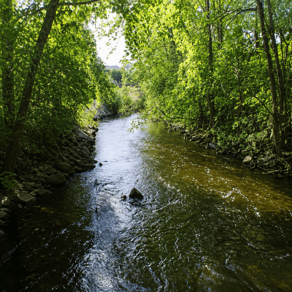
Teaming up with the Canton Rotary Club’s Adopt-A-Stream Program, a 10-member National Guard engineering unit used heavy equipment and chainsaws to pull six rusted vehicles out of the Neponset River off Route 1.
-
Norwood Selectmen Meet on Bird Land Purchase-July 14, 1988
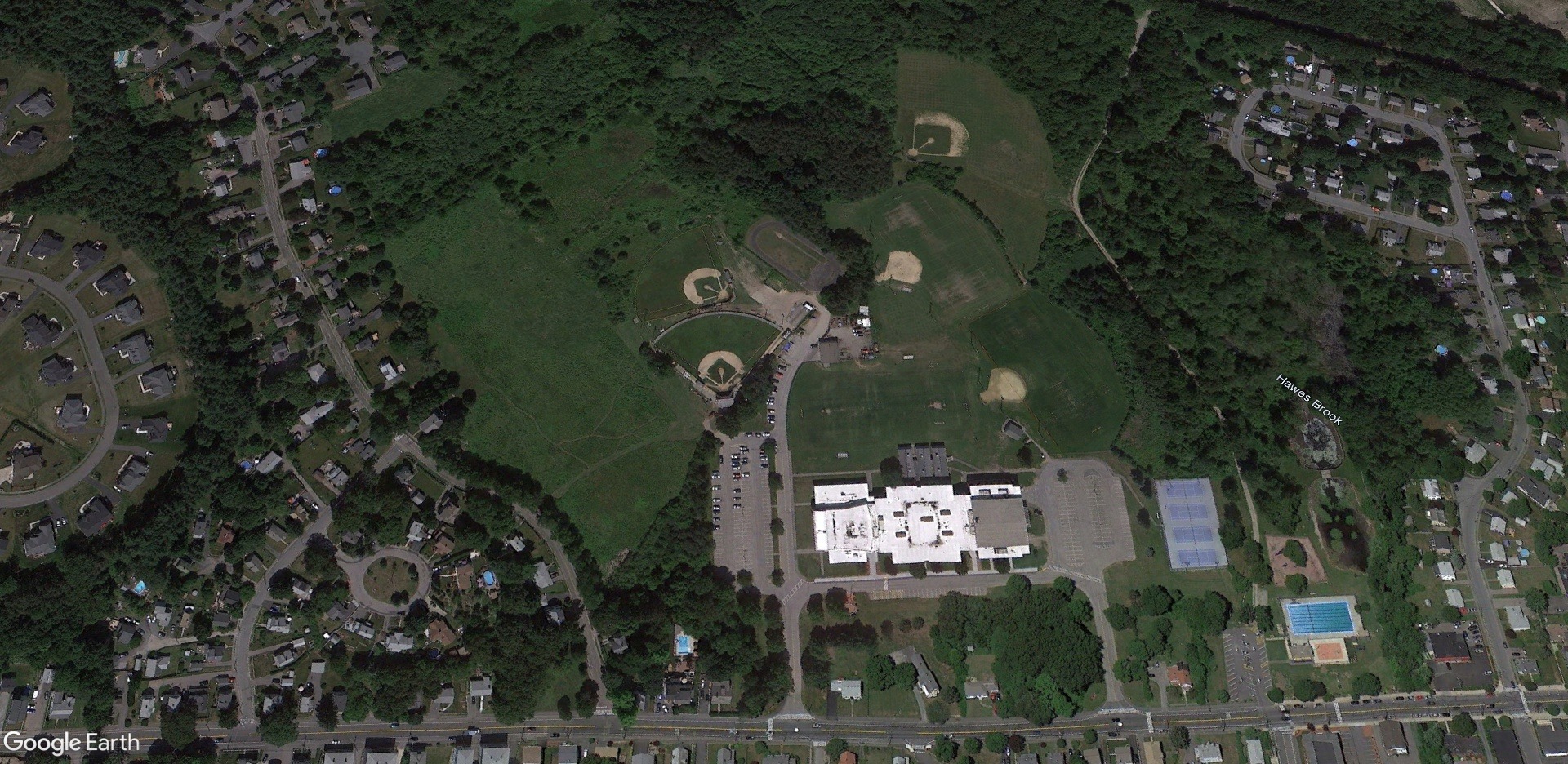
On July 14, 1988, Norwood’s long‑term effort to acquire nearly 300 acres of open space reached a critical moment as selectmen convened an emergency evening meeting at town hall. The immediate focus was the proposed purchase of the 23‑acre Bird farm property off Mylod Street — land considered essential to expanding and protecting the town’s…
-
Norwood Conservation Commission Approves Father McAleer Playground Soccer Fields-July 17, 1985
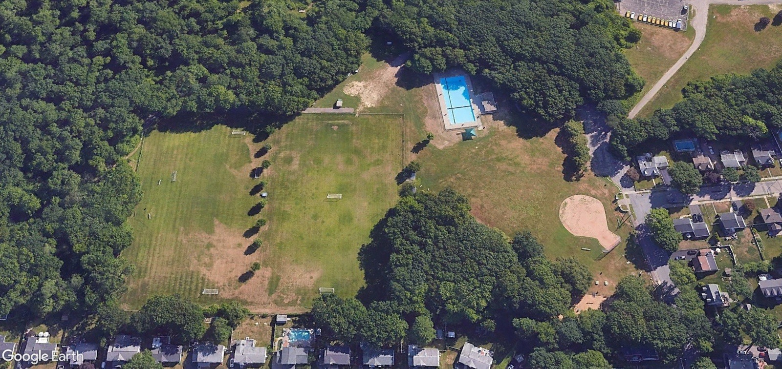
With $110,000 in Town Meeting funding secured, the Recreation Department plans to complete the project within a year while creating new wetlands.
-
Massachusetts House Approves $400,000 in Capital Funds to Repair Aging Ellis Pond Dam-November 18, 1983
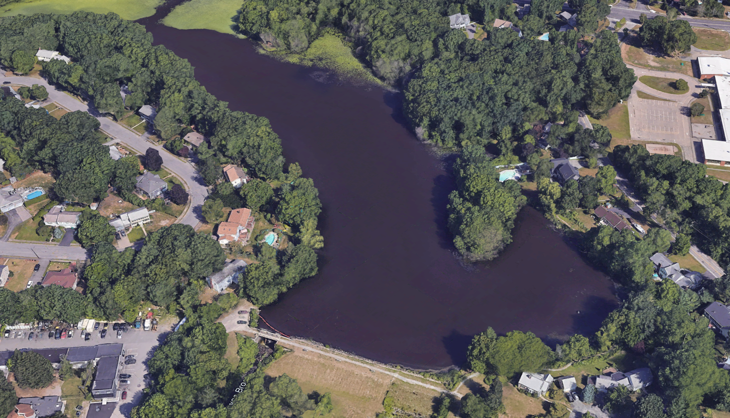
The Massachusetts House voted in November 1983 to include $400,000 in state capital outlay funds to repair Norwood’s 150-year-old Ellis Pond Dam near Walpole and Endicott streets.
-
Conservation Commission Approves Proposed Auto Body Shop Near Hawes Brook-August 22, 1979

Despite angry protests from South Norwood residents over flooding and pollution risks near Hawes Brook, the Conservation Commission approved strict environmental conditions for a new auto body shop.
-
Conservation Commission Faces Angry Residents Over Proposed Washington Street Auto Body Shop-August 8, 1979
Amid fierce opposition from South Norwood homeowners concerned over Hawes Brook flooding and pollution hazards, the Norwood Conservation Commission reviewed safety plans for a proposed auto body shop on Washington Street.
-
Charles Strumski Retains Norwood Conservation Seat-August 17, 1977

Despite being denied reappointment by the town manager, veteran official Charles Strumski continues to serve the Norwood Conservation Commission.
-
Norwood Conservation Commission Approves Park Place Industrial Site-August 17, 1977
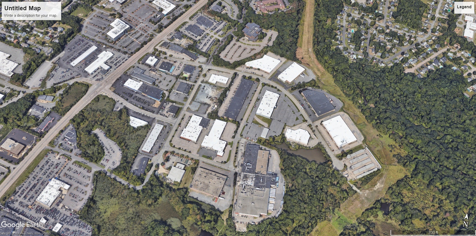
Developer James H. Shane and the Norwood Conservation Commission have agreed on a 56,000 cubic yard flood mitigation plan for Park Place on Route 1.
-
Conservation Commission Reaches Flood Control Agreement with Park Place Developer-August 17, 1977
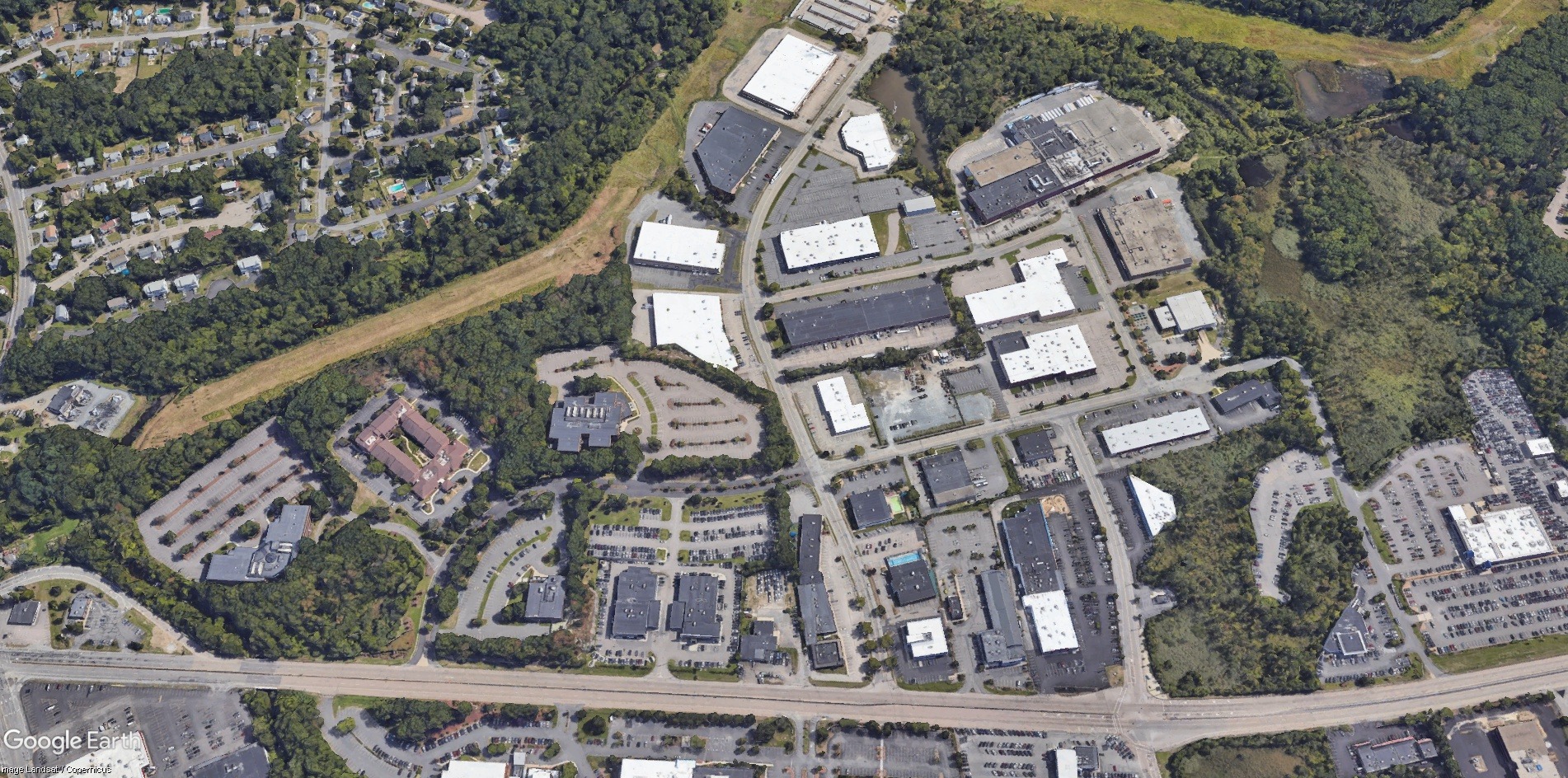
Reaching a compromise under the Wetlands Protection Act, Norwood’s conservation commission approved flood control plans for the Park Place industrial park on Route 1.
-
Route 1 Wildlife Sanctuary Established by Owner Andrew Simoni to Protect Local Fauna-August 25, 1975

For 15 years, property owner Andrew Simoni has maintained a private 32-acre wildlife sanctuary along Route 1 in Norwood to protect local animals from hunters.
Discover more from Norwood Historical Society
Subscribe to get the latest posts sent to your email.