
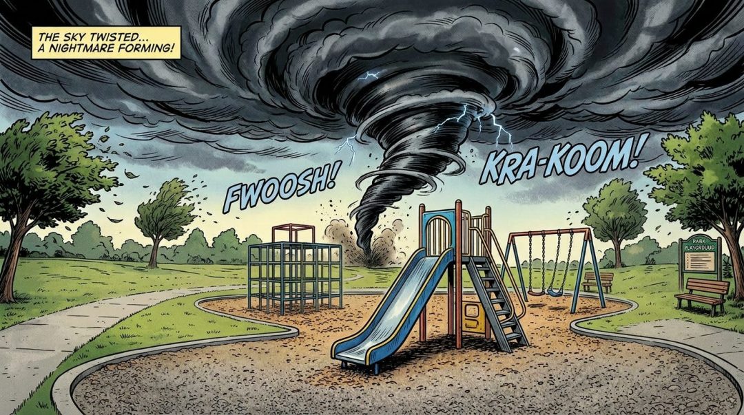

On the evening of Sunday, July 2, 1961, a volatile atmospheric disturbance swept across southern New England, bringing with it a chaotic sequence of heavy rain, hail, intense winds, and the appearance of rare funnel clouds.
The broader storm system was particularly destructive elsewhere in the region; the U.S. Coast Guard station at Salem, Massachusetts, reported heavy hail and confirmed five separate funnel cloud sightings along the North Shore. Furthermore, a tornado caused notable damage along a four-mile path in Salem, New Hampshire.
In Norwood, the tension in the atmosphere became manifest between 7:20 P.M. and 7:30 P.M. during this period of severe weather. The phenomenon was witnessed by two amateur meteorologists, John Anderson and Fred Chapman, who were tasked with observing thunderstorms for the U.S. Air Force Aerophysics Laboratory located at Blue Hill, Massachusetts. According to their official logs, Mr. Anderson observed the funnel cloud at 7:25 P.M., followed by Mr. Chapman at 7:30 P.M. Numerous local residents also observed the formation, which occurred amid a backdrop of intense, dark clouds.
Meteorological conditions were highly unusual leading up to the event. Observers noted a rare cloud formation known as “mamma to cumulus” occurring just minutes prior to the funnel’s development. Specifically, two sections of a stratocumulus cloud base were observed to begin revolving around a common center. The report detailed that “the counterclockwise whirl appeared to lower from the cloud base but no pendent cloud was visible.” Mr. Chapman was able to document this rare, swirling structure on 8 mm movie film, capturing a visual record of the event. The funnel dissipated at approximately 7:32 P.M., and the entire cloud mass proceeded to move away from the area in an east-southeasterly direction.
The formation was immediately followed by a deluge of extremely heavy rain and a severe electrical storm. Observer Anderson carefully tracked the precipitation, recording 0.52” of rainfall during a intense 46-minute period. The severity of the weather was attributed to a combination of high dew points and a daily maximum temperature that reached 90 degrees F, creating the instability required for such a spectacular, albeit alarming, display of nature.
Archival Note: This article has been dynamically reconstructed from the original public record print archives of the Patriot Ledger
More…
-
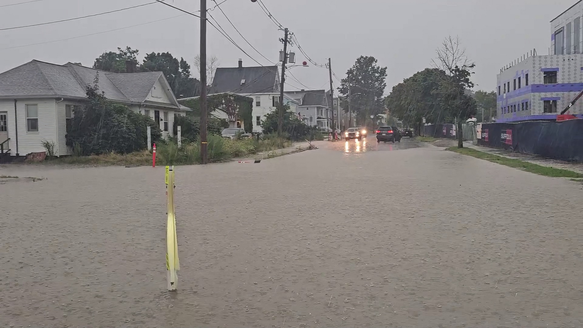
Severe Thunderstorm Brings Hail, Floods Streets-August 15, 2024
Videos of flooding from today’s torrential rain storm.
-
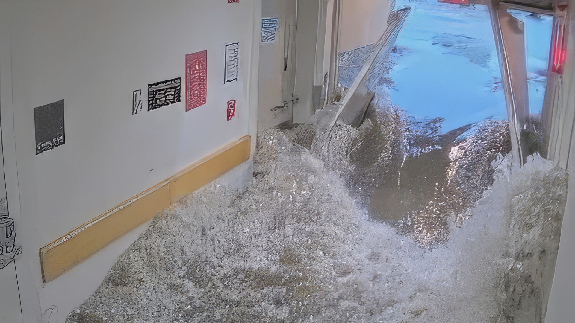
1000 Year Storm Hits Norwood, Massive Flooding, Hospital Evacuated-June 28, 2020
A historic “back building” thunderstorm on June 28, 2020, dropped over four inches of rain on Norwood in ninety minutes, causing catastrophic flooding that completely knocked out power at Norwood Hospital and forced an emergency evacuation.
-
National TV Broadcast Generates Flood of Tips on Norwood Con Artist-October 17, 1991
Unsolved Mysteries Sparks Nationwide Response Telephones at the Norwood Police Department rang off the hook as viewers from across the country phoned in investigative leads regarding a notorious con artist who robbed two senior citizens of their life savings. The influx of information arrived mere minutes after the popular NBC network television program, “Unsolved Mysteries“—hosted…

-
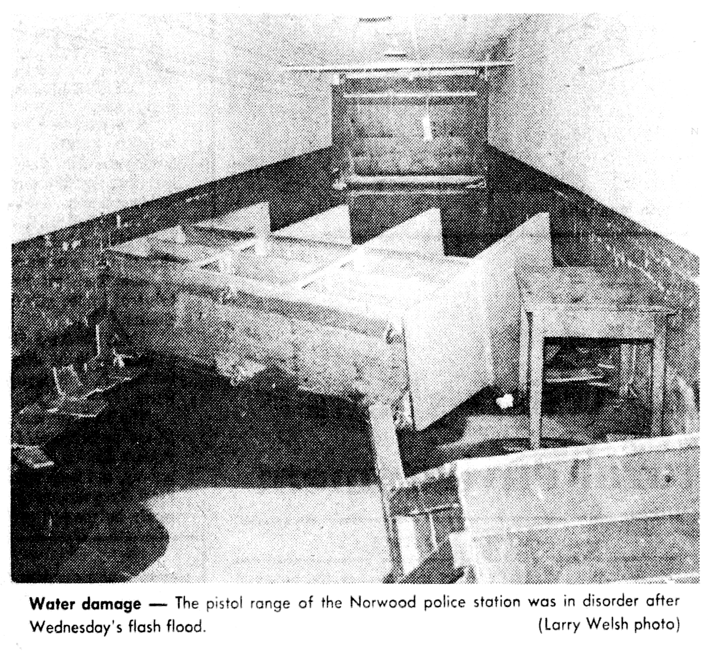
Flash Flood Inflicts Up to $35,000 in Damage to Police-Fire Headquarters-October 5, 1979
Flash floods inflict up to $35,000 in damage to the Norwood police-fire station, destroying historical records and prompting calls for a major drainage study.
-
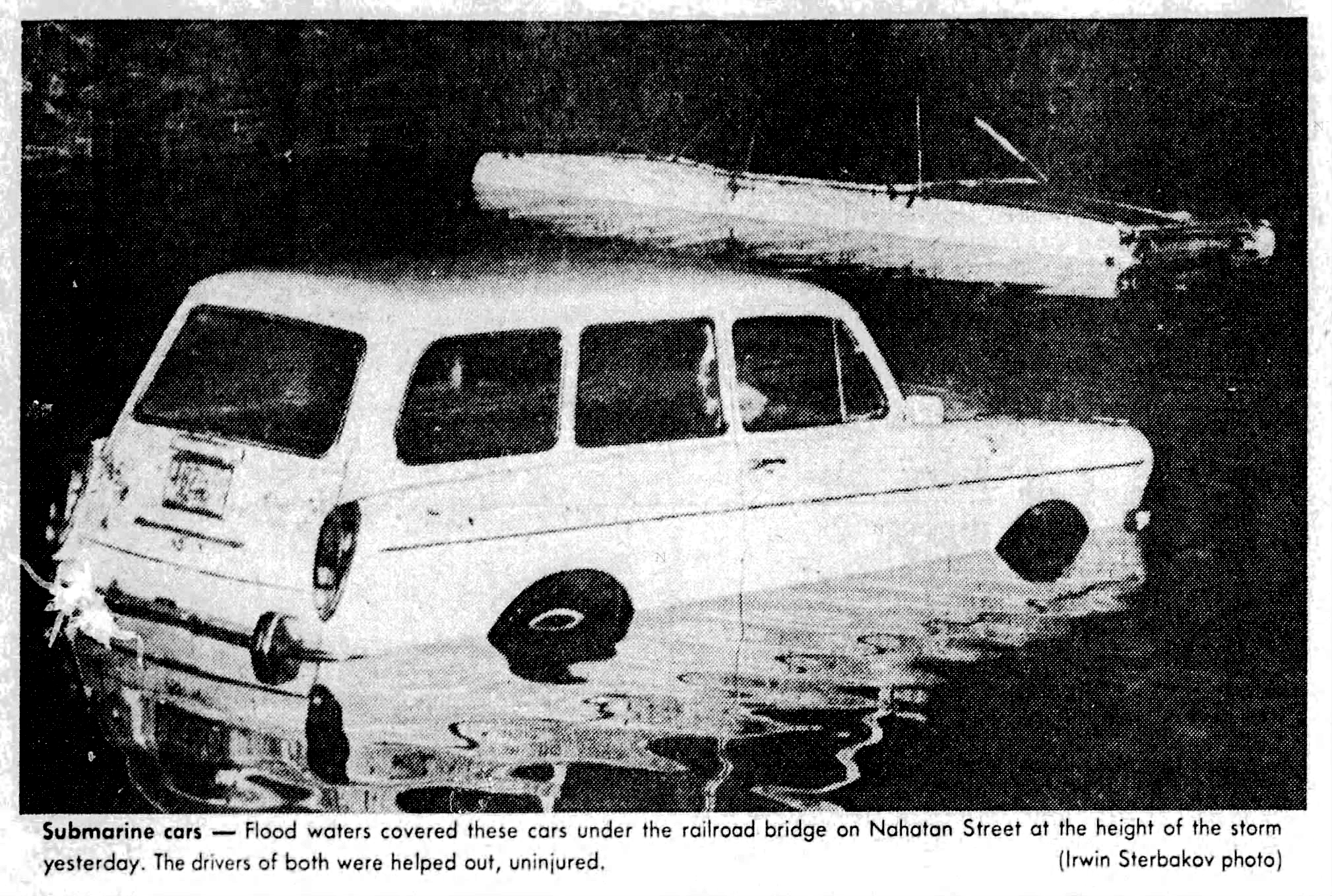
Rescuers Free Trapped Drivers as Flash Floods Submerge Cars Under Nahatan Street Bridge-October 4, 1979
Quick-thinking bystanders and reporters rescue two motorists from sinking cars trapped in nearly six feet of flash floodwater under the Nahatan Street railroad bridge.
-
Controversial Town Towing Policy Reaches Boiling Point-October 16, 1978
Selectmen Weigh Adding a Fourth Contractor- A long-standing municipal debate over Norwood’s official police towing rotation is set to reach a dramatic head tonight, as the Board of Selectmen prepares to address a controversial proposal to expand the roster of authorized town wreckers from three to four. The upcoming decision has ignited sharp friction between…

-
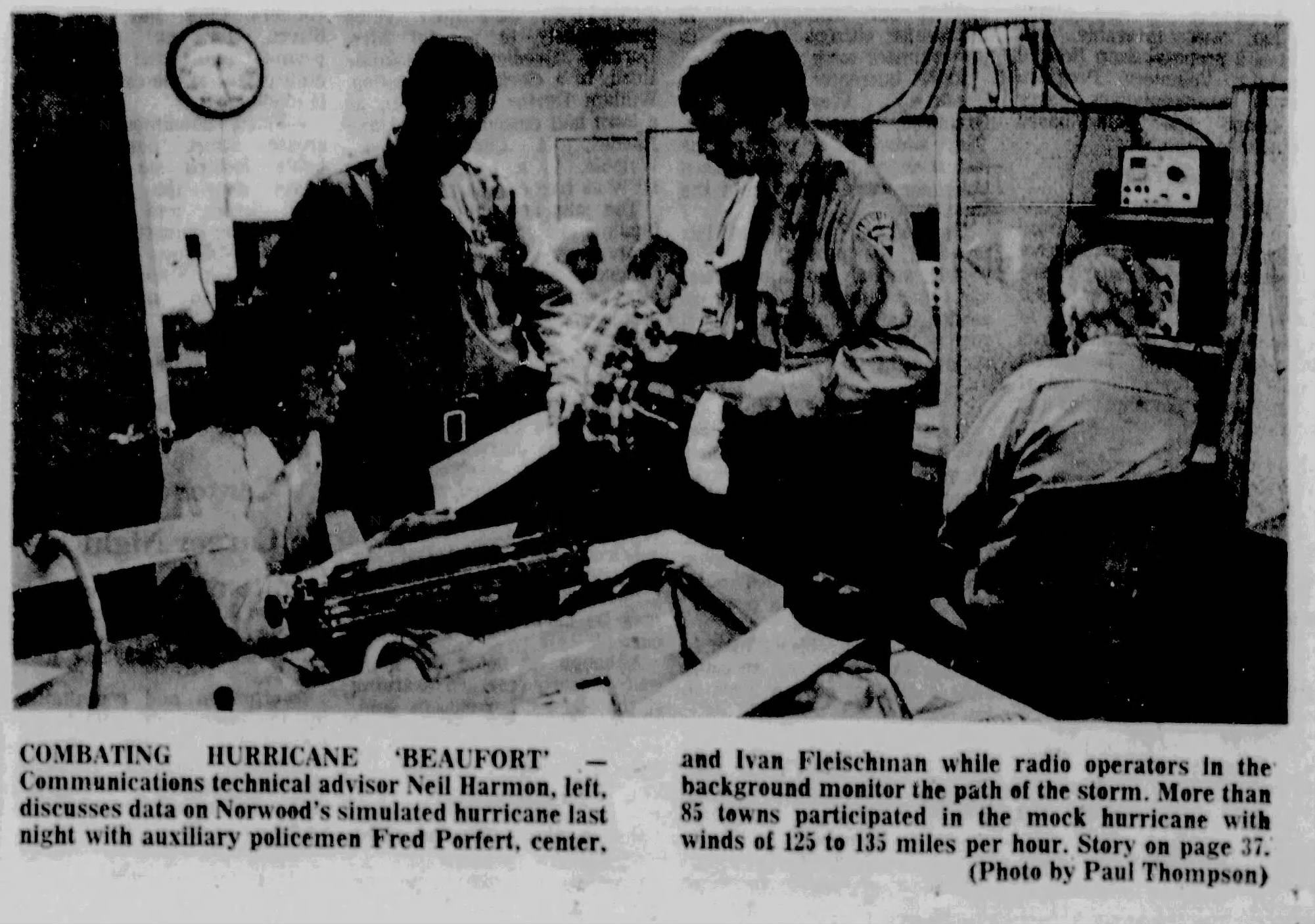
Civil Defense Units Test Readiness Against Mock Hurricane Beaufort-October 16, 1974
Norwood Civil Defense forces participate in a regional mock hurricane drill, testing emergency communications and disaster response protocols.
-
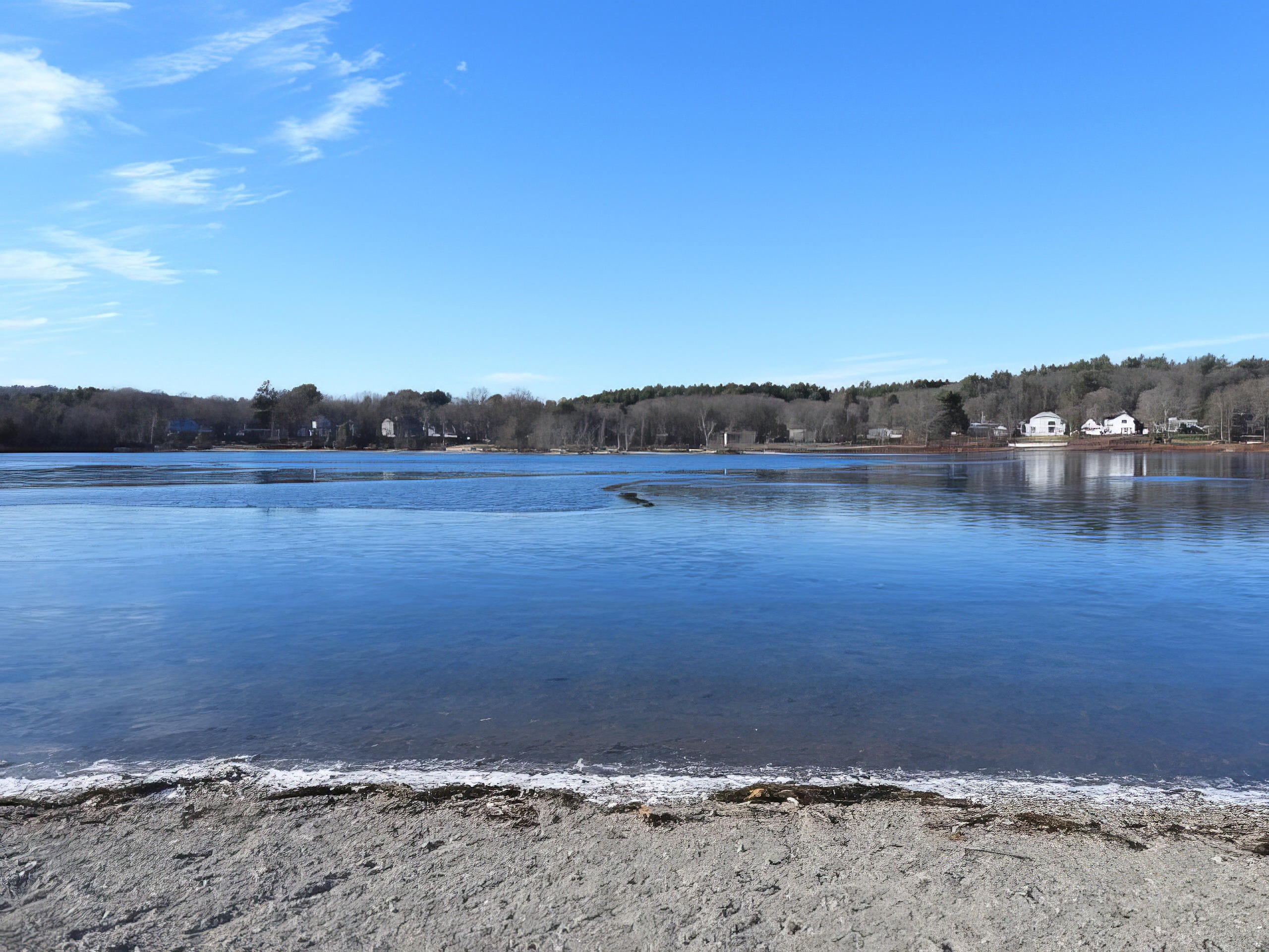
Norwood Approves Final Draft of Buckmaster Pond Agreement With Westwood-August 21, 1974
The Norwood Board of Selectmen approved a final pact draft for Buckmaster Pond, retaining water rights dating to the 1880s while allowing Westwood recreational easements in exchange for full property maintenance.
-
1.39 Inches Of Rain Falls In 20 Minutes-August 3, 1961
Up to two inches of rainfall were reported in parts of Norwood Monday evening after the storm from the Great Lakes region had passed over the local area. Norwood, Westwood and Needham were hardest hit with 1.5 inches reported at Needham and nearly two inches here. The intensity of the rainfall varied In the three…

-
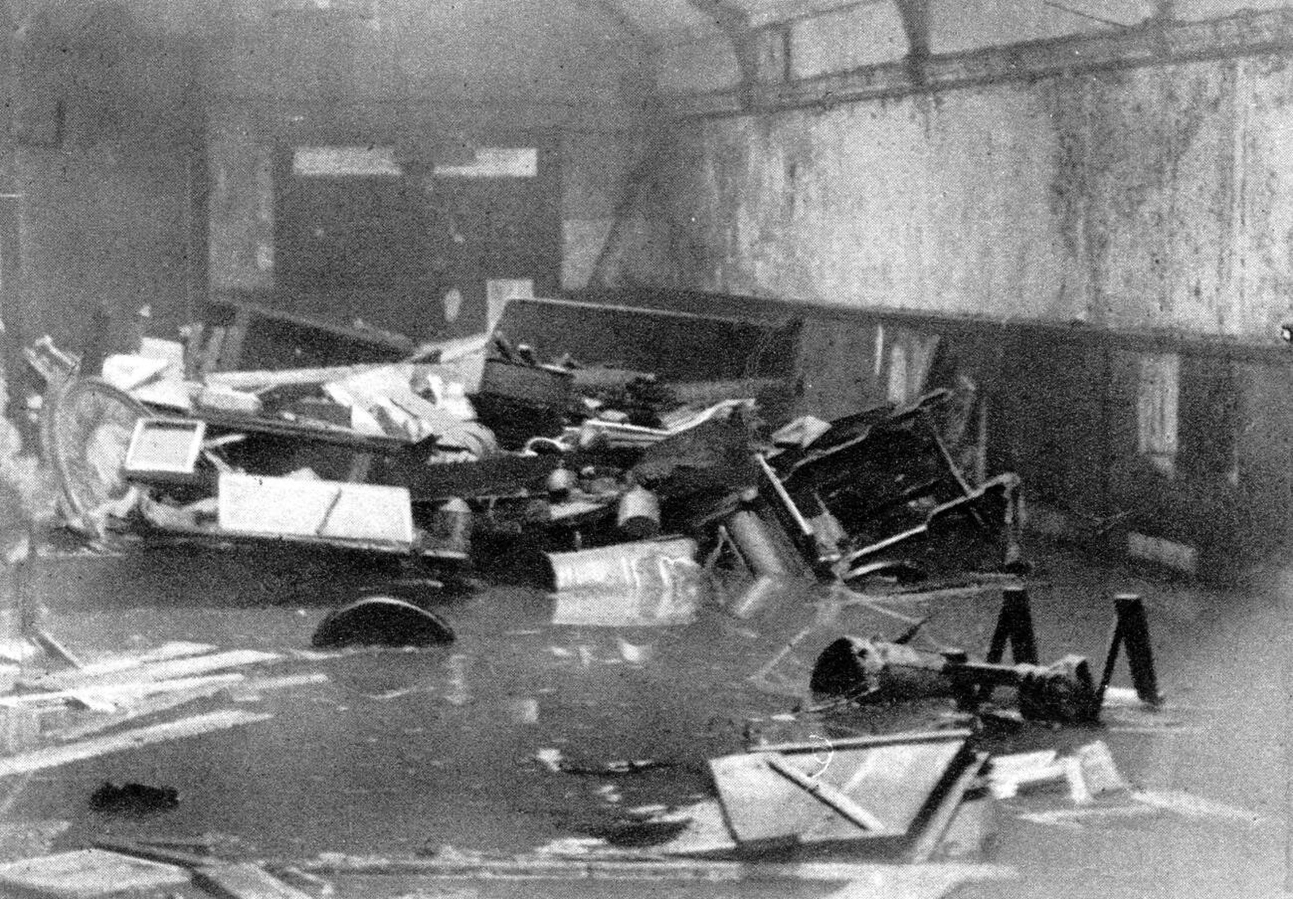
Confer In Effort To Avert Spring Flood Conditions-This Day In Norwood History-February 12, 1948
Store Owners Fearful; Authorities See Big Ice Deposits Slowing Thaw Although no Washington street stores or Norwood residence cellers have been flooded this winter, the question of sewer or drain overflows such as those experienced here in recent years was brought up Tuesday night in a discussion between the Board of Selectmen and Town Engineer…
Discover more from Norwood Historical Society
Subscribe to get the latest posts sent to your email.